
Decatur topographic map
Click on the map to display elevation.
About this map
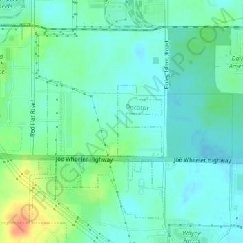
Name: Decatur topographic map, elevation, terrain.
Location: Decatur, Morgan County, Alabama, United States (34.61992 -87.05852 34.62796 -87.05212)
Average elevation: 186 m
Minimum elevation: 173 m
Maximum elevation: 222 m