Geolocate

Mount Diwata topographic map

Click on the map to display elevation.

About this map

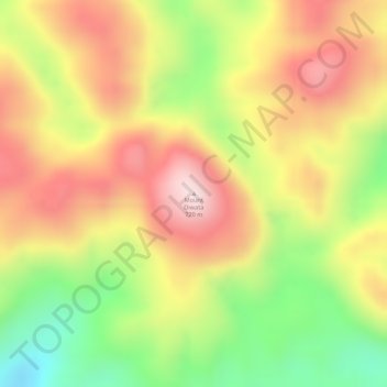
Name: Mount Diwata topographic map, elevation, terrain.

Location: Mount Diwata, Lianga, Surigao del Sur, Caraga, Philippines (8.71536 126.04445 8.71546 126.04455)

Average elevation: 545 m

Minimum elevation: 321 m

Maximum elevation: 719 m

Gear up for your next adventure:

🥾Approach Boots - Comfortable boots for hiking and climbing approaches
🦶Hiking Shoe Insoles - Added support for high arches and long days on feet
🥾Durable Hiking Shoes - Long-lasting shoes for frequent hiking
🐕Hiking Dog Pack - Let your canine companion carry their own water and food
🧴First Aid Kit - Essential first aid supplies for outdoor emergencies

As an Amazon Associate, this site earns from qualifying purchases at no extra cost to you.