Geolocate

Yimpang topographic map

Click on the map to display elevation.

About this map

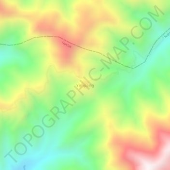
Name: Yimpang topographic map, elevation, terrain.

Location: Yimpang, Noklak, Nagaland, India (26.26476 94.96653 26.30476 95.00653)

Average elevation: 2,034 m

Minimum elevation: 1,573 m

Maximum elevation: 2,655 m

Gear up for your next adventure:

🥾Trail Hiking Socks - Comfortable socks to prevent blisters and fatigue
Lightweight Backpacking Tent - Compact tent for efficient hiking trips
🥾Durable Hiking Shoes - Long-lasting shoes for frequent hiking
🥾Mountain Trail Shoes - High-traction shoes for mountain trails
🧢Sun Hat - Wide-brim hat for sun protection

As an Amazon Associate, this site earns from qualifying purchases at no extra cost to you.