Geolocate

Bhan topographic map

Click on the map to display elevation.

About this map

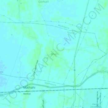
Name: Bhan topographic map, elevation, terrain.

Location: Bhan, Ghailarh, Madhepura, Bihar, 852121, India (25.90035 86.71637 25.94035 86.75637)

Average elevation: 43 m

Minimum elevation: 41 m

Maximum elevation: 48 m

Gear up for your next adventure:

🥾Hiking Leggings - Comfortable leggings for outdoor activities
🧥Insulated Jacket - Keep warm in cold outdoor conditions
🧰Emergency Multi-Tool - Compact multi-tool for outdoor survival
🧶550 Survival Paracord - Versatile utility cord for emergency repairs and rigging
💧Filtered Water Bottle - Safe drinking water on the go

As an Amazon Associate, this site earns from qualifying purchases at no extra cost to you.