
Gosoma topographic map
Interactive map
Click on the map to display elevation.
About this map
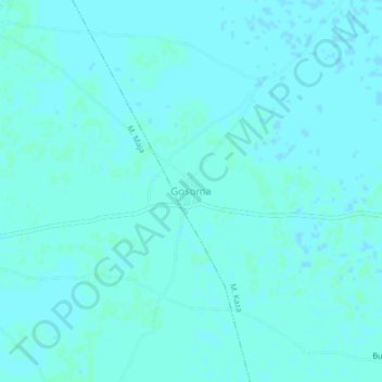
Name: Gosoma topographic map, elevation, terrain.
Location: Gosoma, M. Kaza, Dikwa, Borno State, Nigeria (11.97253 14.09978 12.01253 14.13978)
Average elevation: 293 m
Minimum elevation: 291 m
Maximum elevation: 294 m