Geolocate

Mukam topographic map

Click on the map to display elevation.

About this map

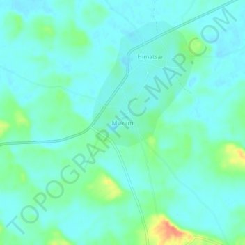
Name: Mukam topographic map, elevation, terrain.

Location: Mukam, Nokha Tehsil, Bikaner, Rajasthan, India (27.60461 73.59810 27.64461 73.63810)

Average elevation: 313 m

Minimum elevation: 302 m

Maximum elevation: 349 m

Gear up for your next adventure:

🧥Thermal Layer - Insulating layer for cold outdoor conditions
🥾Mountain Hiking Shoes - Shoes with superior grip for mountainous terrain
🧤Insulated Winter Gloves - Heavy-duty protection for sub-zero Canadian adventures
🥾Lightweight Hiking Boots - Boots for comfort and mobility on long hikes
🧦Outdoor Socks - Durable socks designed for hiking and outdoor sports

As an Amazon Associate, this site earns from qualifying purchases at no extra cost to you.