Geolocate

Crest Line Park topographic map

Click on the map to display elevation.

About this map

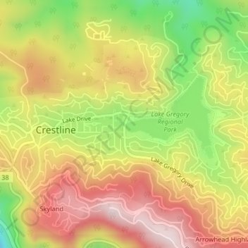
Name: Crest Line Park topographic map, elevation, terrain.

Location: Crest Line Park, Crestline, San Bernardino County, California, 92325, United States (34.24248 -117.27668 34.24258 -117.27658)

Average elevation: 1,452 m

Minimum elevation: 1,217 m

Maximum elevation: 1,643 m

Other topographic maps

Click on a map to view its topography, its elevation and its terrain.

Gear up for your next adventure:

🧥Waterproof Hiking Jacket - Protect yourself from rain and wind while hiking
🥾Hiking Boots - Sturdy boots providing ankle support and traction on rugged trails
💧Hydration Bladder - Hands-free hydration solution for long treks
🔥Emergency Fire Starter - Reliable ignition source for all weather conditions
🧼Travel Hand Sanitizer - Keep hands clean when water is scarce

As an Amazon Associate, this site earns from qualifying purchases at no extra cost to you.