Geolocate

Nordenham topographic map

Click on the map to display elevation.

About this map
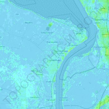
Name: Nordenham topographic map, elevation, terrain.

Location: Nordenham, Landkreis Wesermarsch, Lower Saxony, Germany (53.43301 8.36258 53.57628 8.55670)

Average elevation: 0 m

Minimum elevation: -7 m

Maximum elevation: 12 m

Other topographic maps

Click on a map to view its topography, its elevation and its terrain.

Gear up for your next adventure:

🧦Merino Wool Socks - Moisture-wicking comfort for long-distance hiking
🍽️Titanium Camping Spork - Ultralight and indestructible eating utensil
🔦LED Headtorch - Bright and durable light for night activities
🏃Hydration Running Vest - Carry water and maps close to your body for speed
🔭Compact Binoculars - Lightweight optics for scouting trails and wildlife

As an Amazon Associate, this site earns from qualifying purchases at no extra cost to you.