
Patakottacheruvu topographic map
Interactive map
Click on the map to display elevation.
About this map
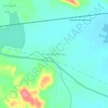
Name: Patakottacheruvu topographic map, elevation, terrain.
Location: Patakottacheruvu, Guntakal, Anantapur, Andhra Pradesh, Inde (15.13747 77.49151 15.17747 77.53151)
Average elevation: 388 m
Minimum elevation: 365 m
Maximum elevation: 473 m