
Make a donation
Gear up for your next adventure:
As an Amazon Associate, this site earns from qualifying purchases at no extra cost to you.
Pias topographic map
Click on the map to display elevation.
Make a donation
Gear up for your next adventure:
As an Amazon Associate, this site earns from qualifying purchases at no extra cost to you.
About this map
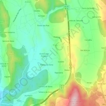
Name: Pias topographic map, elevation, terrain.
Location: Pias, Ferreira do Zêzere, Santarém, 2305-067, Portugal (39.69691 -8.35197 39.73691 -8.31197)
Average elevation: 256 m
Minimum elevation: 162 m
Maximum elevation: 433 m
Make a donation
Gear up for your next adventure:
As an Amazon Associate, this site earns from qualifying purchases at no extra cost to you.
Other topographic maps
Click on a map to view its topography, its elevation and its terrain.
Paio Mendes
Portugal > Santarém > Ferreira do Zêzere > Nossa Senhora do Pranto
Average elevation: 294 m
Make a donation
Gear up for your next adventure:
As an Amazon Associate, this site earns from qualifying purchases at no extra cost to you.