
Tring-Jonction topographic map
Interactive map
Click on the map to display elevation.
About this map
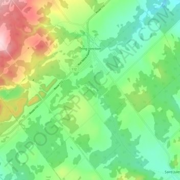
Name: Tring-Jonction topographic map, elevation, terrain.
Average elevation: 351 m
Minimum elevation: 266 m
Maximum elevation: 521 m
Other topographic maps
Click on a map to view its topography, its elevation and its terrain.
Beauceville
Canada > Quebec > Beauce-Centre
Beauceville, Beauce-Centre, Chaudière-Appalaches, Quebec, Canada
Average elevation: 285 m