Geolocate

Tamando topographic map

Click on the map to display elevation.

About this map

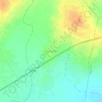
Name: Tamando topographic map, elevation, terrain.

Location: Tamando, Khordha, Odisha, 751015, India (20.21836 85.72615 20.25836 85.76615)

Average elevation: 32 m

Minimum elevation: 16 m

Maximum elevation: 54 m

Gear up for your next adventure:

🔥Emergency Fire Starter - Reliable ignition source for all weather conditions
🚲Heavy Duty Bike Lock - Secure your bike at the trailhead or during stops
🎒Fully Waterproof Backpack - Total protection for photography gear and electronics
🧣Evaporative Cooling Towel - Beat the heat during intense summer climbs
Camping Essentials - All-in-one gear for a comfortable camping trip

As an Amazon Associate, this site earns from qualifying purchases at no extra cost to you.