
El Platanar topographic map
Interactive map
Click on the map to display elevation.
About this map
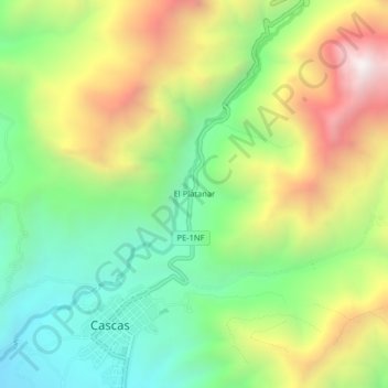
Name: El Platanar topographic map, elevation, terrain.
Location: El Platanar, Provincia de Gran Chimú, La Libertad, Perú (-7.48590 -78.83061 -7.44590 -78.79061)
Average elevation: 1,629 m
Minimum elevation: 1,127 m
Maximum elevation: 2,368 m