
Bells topographic map
Interactive map
Click on the map to display elevation.
About this map
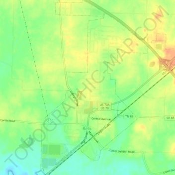
Name: Bells topographic map, elevation, terrain.
Location: Bells, Crockett County, Tennessee, États-Unis (35.70047 -89.10078 35.74138 -89.06013)
Average elevation: 107 m
Minimum elevation: 86 m
Maximum elevation: 128 m