
Halhul topographic map
Interactive map
Click on the map to display elevation.
About this map
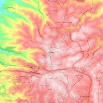
Name: Halhul topographic map, elevation, terrain.
Location: Halhul, Area A, Judea and Samaria, Palestinian Territory (31.53755 35.05932 31.61755 35.13932)
Average elevation: 904 m
Minimum elevation: 594 m
Maximum elevation: 1,019 m