
Tyuleniy Archipelago topographic map
Interactive map
Click on the map to display elevation.
About this map
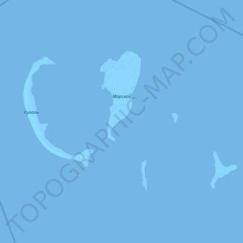
Name: Tyuleniy Archipelago topographic map, elevation, terrain.
Location: Tyuleniy Archipelago, Mangystau Region, Kazakhstan (44.76244 50.00413 45.06234 50.73342)
Average elevation: -29 m
Minimum elevation: -30 m
Maximum elevation: -22 m
Other topographic maps
Click on a map to view its topography, its elevation and its terrain.
Aktau
Kazakhstan > Mangystau Region > Aktau
Aktau, Актау Г.А., Mangystau Region, 130000, Kazakhstan
Average elevation: -13 m