Geolocate

Zlarin topographic map

Click on the map to display elevation.

About this map

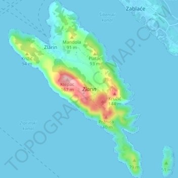
Name: Zlarin topographic map, elevation, terrain.

Location: Zlarin, Grad Šibenik, Šibenik-Knin County, 22232, Croatia (43.66039 15.81910 43.70952 15.87060)

Average elevation: 15 m

Minimum elevation: -5 m

Maximum elevation: 166 m

Gear up for your next adventure:

🥫Freeze-Dried Meals - Lightweight, high-calorie nutrition for multi-day treks
💡LED Camping Lantern - Illuminate your campsite with long-lasting lanterns
🥾Hiking Leggings - Comfortable leggings for outdoor activities
💡Compact LED Flashlight - Powerful and portable flashlight for outdoor use
🧰Emergency Multi-Tool - Compact multi-tool for outdoor survival

As an Amazon Associate, this site earns from qualifying purchases at no extra cost to you.