Geolocate

Proctorville topographic map

Click on the map to display elevation.

About this map

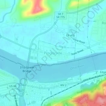
Name: Proctorville topographic map, elevation, terrain.

Location: Proctorville, Lawrence County, Ohio, United States (38.43504 -82.38629 38.44146 -82.37394)

Average elevation: 174 m

Minimum elevation: 157 m

Maximum elevation: 266 m

Other topographic maps

Click on a map to view its topography, its elevation and its terrain.

Royersville

United States > Ohio > Lawrence County

Average elevation: 234 m

Okey

United States > Ohio > Lawrence County

Average elevation: 262 m

Gear up for your next adventure:

🧦Outdoor Socks - Durable socks designed for hiking and outdoor sports
🦟Insect Repellent - Keep mosquitoes and black flies away in wooded areas
🥾Light Hiking Boots - Lightweight and comfortable boots for day hikes
🛌Insulated Sleeping Pad - Critical thermal barrier between you and the cold ground
🧥Packable Rain Jacket - Breathable waterproof layer for unpredictable weather

As an Amazon Associate, this site earns from qualifying purchases at no extra cost to you.