
Driezum topographic map
Interactive map
Click on the map to display elevation.
About this map
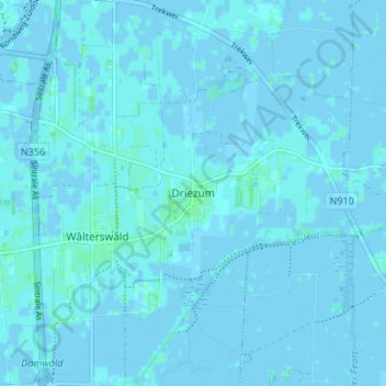
Name: Driezum topographic map, elevation, terrain.
Location: Driezum, Dantumadiel, Friesland, Nederland, 9114, Nederland (53.27681 6.02492 53.31681 6.06492)
Average elevation: 0 m
Minimum elevation: -3 m
Maximum elevation: 4 m