
Las Amazonas topographic map
Interactive map
Click on the map to display elevation.
About this map
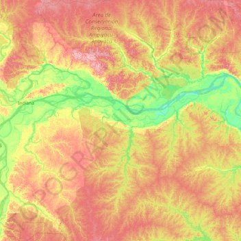
Name: Las Amazonas topographic map, elevation, terrain.
Location: Las Amazonas, Provincia de Maynas, Loreto, Perú (-4.31942 -72.92933 -2.88851 -72.11719)
Average elevation: 108 m
Minimum elevation: 69 m
Maximum elevation: 155 m