Geolocate

Rambra topographic map

Click on the map to display elevation.

About this map

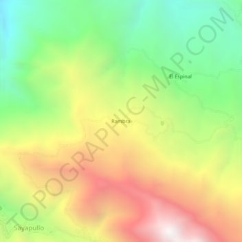
Name: Rambra topographic map, elevation, terrain.

Location: Rambra, Sayapullo, Gran Chimú, La Libertad, Perú (-7.59782 -78.47053 -7.55782 -78.43053)

Average elevation: 2,406 m

Minimum elevation: 1,616 m

Maximum elevation: 3,356 m

Gear up for your next adventure:

🧢Hiking Sun Hat - Wide-brimmed protection for exposed mountain ridges
🥾Lightweight Hiking Boots - Boots for comfort and mobility on long hikes
🧢Sun Hat - Wide-brim hat for sun protection
🧥Thermal Fleece Jacket - Versatile insulation for changing mountain temperatures
🔭Outdoor Binoculars - Lightweight binoculars for birdwatching and hiking

As an Amazon Associate, this site earns from qualifying purchases at no extra cost to you.