Geolocate

Molini topographic map

Click on the map to display elevation.

About this map

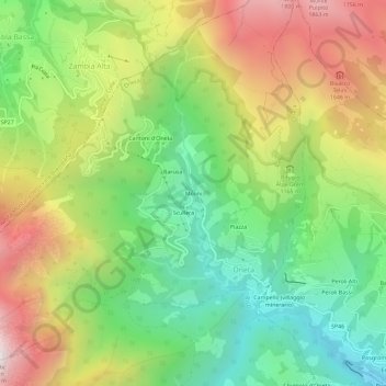
Name: Molini topographic map, elevation, terrain.

Location: Molini, Oneta, Bergamo, Lombardia, 24020, Italia (45.85945 9.79145 45.89945 9.83145)

Average elevation: 1,140 m

Minimum elevation: 537 m

Maximum elevation: 1,968 m

Gear up for your next adventure:

🩹Moleskin Blister Pads - Direct protection for painful foot pressure points
🕶️Polarized Sunglasses - Protect your eyes with durable polarized lenses
🧣Evaporative Cooling Towel - Beat the heat during intense summer climbs
🧥Softshell Jacket - Windproof and breathable jacket for hiking
🛶Kayak Dry Bag - Waterproof storage for kayaking adventures

As an Amazon Associate, this site earns from qualifying purchases at no extra cost to you.