
Garín topographic map
Interactive map
Click on the map to display elevation.
About this map
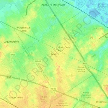
Name: Garín topographic map, elevation, terrain.
Location: Garín, Partido de Escobar, Buenos Aires, 1619, Argentina (-34.46411 -58.78076 -34.38411 -58.70076)
Average elevation: 16 m
Minimum elevation: -9 m
Maximum elevation: 29 m