
Doylestown topographic map
Click on the map to display elevation.
Doylestown
An electric telegraph station was built in 1846, and the North Pennsylvania Railroad completed a branch to Doylestown in 1856. The first gas lights were introduced in 1854. Because of the town's relatively high elevation and a lack of strong water power, substantial industrial development never occurred and Doylestown evolved to have a professional and residential character.
About this map
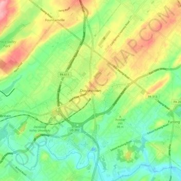
Name: Doylestown topographic map, elevation, terrain.
Location: Doylestown, Bucks County, Pennsylvania, 18901, United States (40.27004 -75.17046 40.35004 -75.09046)
Average elevation: 100 m
Minimum elevation: 51 m
Maximum elevation: 175 m