Geolocate

A Fentosa topographic map

Click on the map to display elevation.

About this map

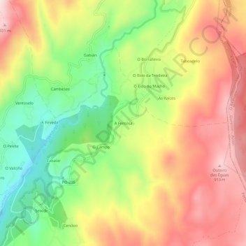
Name: A Fentosa topographic map, elevation, terrain.

Location: A Fentosa, Seixido, A Lama, Pontevedra, Galicia, España (42.41895 -8.38191 42.45895 -8.34191)

Average elevation: 726 m

Minimum elevation: 517 m

Maximum elevation: 930 m

Gear up for your next adventure:

🥾Lightweight Hiking Boots - Boots for comfort and mobility on long hikes
🕶️Polarized Sunglasses - Reduces glare from snow and water at high elevations
🎒Hiking Backpack - Lightweight and ergonomic backpacks for day hikes or multi-day treks
🧴Sunscreen SPF - Broad-spectrum sunscreen for outdoor activities
Family Camping Tent - Spacious tent suitable for family camping trips

As an Amazon Associate, this site earns from qualifying purchases at no extra cost to you.