Geolocate

Metpalli topographic map

Click on the map to display elevation.

About this map
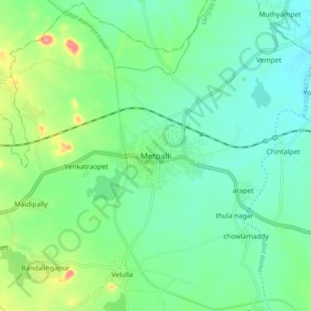
Name: Metpalli topographic map, elevation, terrain.

Location: Metpalli, Metpalli mandal, Jagtial, Telangana, 505325, India (18.80882 78.58589 18.88882 78.66589)

Average elevation: 308 m

Minimum elevation: 278 m

Maximum elevation: 388 m

Gear up for your next adventure:

🥾Hiking Shorts - Breathable shorts suitable for summer hikes
💡Compact LED Flashlight - Powerful and portable flashlight for outdoor use
🧦Crew Hiking Socks - Comfortable socks for long-distance hikes
🧥Ultralight Puffy Jacket - Maximum warmth that packs down to the size of an orange
🧴Sunscreen SPF - Broad-spectrum sunscreen for outdoor activities

As an Amazon Associate, this site earns from qualifying purchases at no extra cost to you.