Geolocate

Patgaon topographic map

Click on the map to display elevation.

About this map

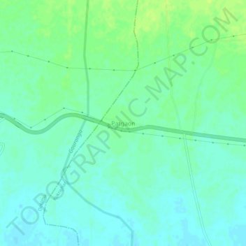
Name: Patgaon topographic map, elevation, terrain.

Location: Patgaon, Kokrajhar, Assam, 783346, India (26.54769 90.19761 26.58769 90.23761)

Average elevation: 67 m

Minimum elevation: 61 m

Maximum elevation: 75 m

Gear up for your next adventure:

🧣Evaporative Cooling Towel - Beat the heat during intense summer climbs
🥾Waterproof Hiking Shoes - Durable shoes for wet and rugged trails
🚲Heavy Duty Bike Lock - Secure your bike at the trailhead or during stops
🦌Outdoor Trail Camera - Monitor wildlife activity near your favorite spots
🛶Kayak Dry Bag - Waterproof storage for kayaking adventures

As an Amazon Associate, this site earns from qualifying purchases at no extra cost to you.