Geolocate

Chipite topographic map

Click on the map to display elevation.

About this map

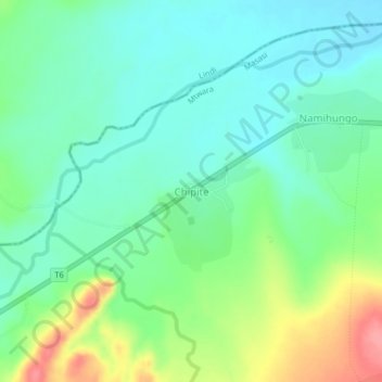
Name: Chipite topographic map, elevation, terrain.

Location: Chipite, Masasi, Mtwara Region, Coastal Zone, Tanzania (-10.38944 39.20348 -10.34944 39.24348)

Average elevation: 192 m

Minimum elevation: 163 m

Maximum elevation: 257 m

Other topographic maps

Click on a map to view its topography, its elevation and its terrain.

Tandahimba

Tanzania > Mtwara Region

Average elevation: 333 m

Masasi

Tanzania > Mtwara Region

Average elevation: 345 m

Gear up for your next adventure:

💧Hydration Pack - Hands-free hydration system for long hikes
🛁Quick-Dry Microfiber Towel - Space-saving towel that dries rapidly on the move
🧢Outdoor Cap - Protective cap for sun and rain during hikes
Camping Tent - Weather-resistant tents suitable for 2 to 6 people
🧶550 Survival Paracord - Versatile utility cord for emergency repairs and rigging

As an Amazon Associate, this site earns from qualifying purchases at no extra cost to you.