Geolocate

Kondhali topographic map

Click on the map to display elevation.

About this map

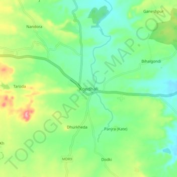
Name: Kondhali topographic map, elevation, terrain.

Location: Kondhali, Katol, Nagpur, Maharashtra, 441103, India (21.09738 78.60023 21.17738 78.68023)

Average elevation: 480 m

Minimum elevation: 438 m

Maximum elevation: 567 m

Gear up for your next adventure:

💡LED Headlamp - Hands-free illumination for night hiking and camping
🪑Ultralight Camping Stool - Compact seating for rest stops during long hikes
🚲Heavy Duty Bike Lock - Secure your bike at the trailhead or during stops
🔪Outdoor Multitool - Versatile tool for repairs and food prep in the wild
🔋Emergency Crank Radio - Weather alerts and power without needing batteries

As an Amazon Associate, this site earns from qualifying purchases at no extra cost to you.