Geolocate

Mont-ral topographic map

Click on the map to display elevation.

About this map

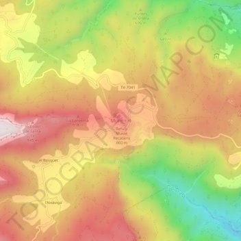
Name: Mont-ral topographic map, elevation, terrain.

Location: Mont-ral, Alto Campo, Tarragona, Cataluña, 43364, España (41.26712 1.07808 41.30712 1.11808)

Average elevation: 722 m

Minimum elevation: 338 m

Maximum elevation: 1,021 m

Gear up for your next adventure:

🕯️Camping Lantern - Illuminates your entire campsite with high-efficiency LEDs
💧Collapsible Water Bottle - Space-saving water bottle for outdoor activities
🦌Outdoor Trail Camera - Monitor wildlife activity near your favorite spots
🥾Hiking Gaiters - Protect legs and shoes from mud, snow, and debris
🧼Biodegradable Camp Soap - Environmentally friendly cleaning for gear and body

As an Amazon Associate, this site earns from qualifying purchases at no extra cost to you.