
Panchota topographic map
Interactive map
Click on the map to display elevation.
About this map
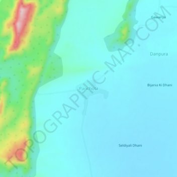
Name: Panchota topographic map, elevation, terrain.
Location: Panchota, Nawa Tehsil, Nagaur, Rajastán, India (27.05886 74.98285 27.09886 75.02285)
Average elevation: 428 m
Minimum elevation: 387 m
Maximum elevation: 640 m