Geolocate

Birr topographic map

Click on the map to display elevation.

About this map

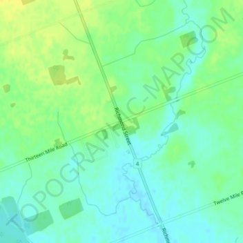
Name: Birr topographic map, elevation, terrain.

Location: Birr, Middlesex Centre, Middlesex County, Ontario, Canada (43.11144 -81.34166 43.13144 -81.32166)

Average elevation: 292 m

Minimum elevation: 283 m

Maximum elevation: 304 m

Middlesex County trails, hiking, mountain biking, running and outdoor activities

Other topographic maps

Click on a map to view its topography, its elevation and its terrain.

London

Canada > Ontario > Middlesex County > Middlesex Centre

Average elevation: 281 m

Gear up for your next adventure:

🛶Waterproof Dry Bags - Keep electronics and clothes dry during river crossings
🥾Waterproof Trail Shoes - Shoes designed to handle wet terrain
🩹Compact First Aid Kit - Pre-packed essentials for common trail injuries
📷Outdoor Action Camera - Capture high-elevation views and rugged adventures
🧭GPS Tracker - Track your location in remote areas safely

As an Amazon Associate, this site earns from qualifying purchases at no extra cost to you.