Geolocate

Quito topographic map

Click on the map to display elevation.

About this map

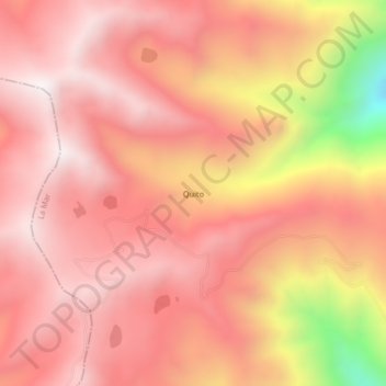
Name: Quito topographic map, elevation, terrain.

Location: Quito, Luis Carranza, Provincia de La Mar, Ayacucho, Perú (-13.31565 -73.92864 -13.27565 -73.88864)

Average elevation: 4,039 m

Minimum elevation: 3,253 m

Maximum elevation: 4,352 m

Gear up for your next adventure:

🥾Hiking Boots - Sturdy boots providing ankle support and traction on rugged trails
🚑Survival Whistle - Signal for help across long distances in mountains
🧦Hiking Socks - Moisture-wicking and comfortable socks for long hikes
🎒Fully Waterproof Backpack - Total protection for photography gear and electronics
🥾Trekking Boots - Durable boots for long-distance trekking

As an Amazon Associate, this site earns from qualifying purchases at no extra cost to you.