Geolocate

Plainview topographic map

Click on the map to display elevation.

About this map

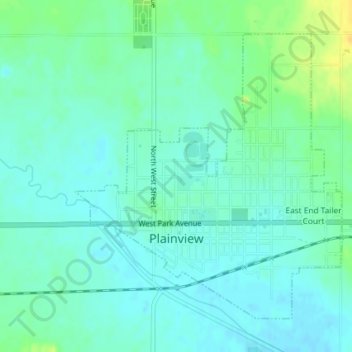
Name: Plainview topographic map, elevation, terrain.

Location: Plainview, Pierce County, Nebraska, 68769, United States (42.34347 -97.80403 42.36536 -97.77629)

Average elevation: 519 m

Minimum elevation: 511 m

Maximum elevation: 537 m

Gear up for your next adventure:

🧴Waterproofing Spray - Restore the DWR coating on jackets and tents
🌬️Windproof Camp Stove - Efficient cooking even on exposed mountain peaks
💡Portable Camping Lamp - Rechargeable lamp for campsite lighting
🧥Thermal Fleece Jacket - Versatile insulation for changing mountain temperatures
🔭Compact Binoculars - Lightweight optics for scouting trails and wildlife

As an Amazon Associate, this site earns from qualifying purchases at no extra cost to you.