Geolocate

RAMDASPUR topographic map

Click on the map to display elevation.

About this map

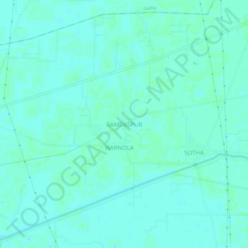
Name: RAMDASPUR topographic map, elevation, terrain.

Location: RAMDASPUR, Siwan, Kaithal, Haryana, 136033, India (29.91481 76.30093 29.95481 76.34093)

Average elevation: 238 m

Minimum elevation: 235 m

Maximum elevation: 240 m

Gear up for your next adventure:

🛏️Sleeping Bag - Warm and compact sleeping bags for outdoor camping
🥾Lightweight Hiking Shoes - Comfortable shoes for day hikes
💧Hydration Bladder - Hands-free hydration solution for long treks
🧴Outdoor Sunscreen - High SPF protection for high-altitude UV exposure
🧤Rechargeable Heated Gloves - Extreme warmth for Canadian winter expeditions

As an Amazon Associate, this site earns from qualifying purchases at no extra cost to you.