Geolocate

Villar topographic map

Click on the map to display elevation.

About this map

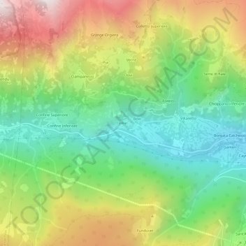
Name: Villar topographic map, elevation, terrain.

Location: Villar, Sampeyre, Cuneo, Piemonte, Italia (44.56390 7.12338 44.60390 7.16338)

Average elevation: 1,472 m

Minimum elevation: 982 m

Maximum elevation: 2,196 m

Other topographic maps

Click on a map to view its topography, its elevation and its terrain.

Lago di Luca

Italia > Piemonte > Cuneo > Sampeyre

Average elevation: 2,342 m

Gear up for your next adventure:

🥾Approach Shoes - Shoes designed for climbing approaches and rugged trails
🦟Insect Repellent - Keep mosquitoes and black flies away in wooded areas
Bushcraft Tarp - Versatile emergency shelter or gear protection
🧦Outdoor Socks - Durable socks designed for hiking and outdoor sports
🔭Outdoor Binoculars - Lightweight binoculars for birdwatching and hiking

As an Amazon Associate, this site earns from qualifying purchases at no extra cost to you.