Geolocate

Ellabell topographic map

Click on the map to display elevation.

About this map

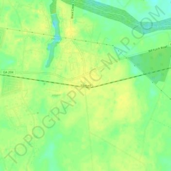
Name: Ellabell topographic map, elevation, terrain.

Location: Ellabell, Bryan County, Georgia, United States (32.10354 -81.50567 32.14354 -81.46567)

Average elevation: 21 m

Minimum elevation: 8 m

Maximum elevation: 30 m

Other topographic maps

Click on a map to view its topography, its elevation and its terrain.

Richmond Hill

United States > Georgia > Bryan County

Average elevation: 5 m

Gear up for your next adventure:

🛰️Satellite Messenger - Emergency communication for areas with no cell service
🛶Kayak Accessories - Essential gear for safe and fun kayaking adventures
🧊Insulated Water Bottle - Keeps drinks cold in summer and prevents freezing in winter
🚲Heavy Duty Bike Lock - Secure your bike at the trailhead or during stops
🥾Mountain Hiking Boots - High-traction boots for rocky terrain

As an Amazon Associate, this site earns from qualifying purchases at no extra cost to you.