Geolocate

Samaspur topographic map

Click on the map to display elevation.

About this map

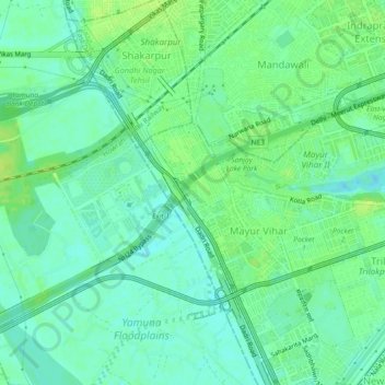
Name: Samaspur topographic map, elevation, terrain.

Location: Samaspur, Mayur Vihar Tehsil, East Delhi, Delhi, 110091, India (28.59376 77.26487 28.63376 77.30487)

Average elevation: 205 m

Minimum elevation: 198 m

Maximum elevation: 211 m

Gear up for your next adventure:

🧥Insulated Jacket - Keep warm in cold outdoor conditions
🚲Handlebar Phone Mount - View topographic-map.com live while cycling
🥾Trekking Poles - Adjustable trekking poles to reduce knee stress and improve stability
🎒Backpack Rain Cover - External shield to keep your entire pack dry
Camping Coffee Maker - Brew fresh coffee anywhere on the topographic map

As an Amazon Associate, this site earns from qualifying purchases at no extra cost to you.