Geolocate

Pujali topographic map

Click on the map to display elevation.

Pujali

Pujali is located at 22°28′04″N 88°08′43″E / 22.4678722°N 88.1452410°E / 22.4678722; 88.1452410. It has an average elevation of 9 metres (30 ft).

About this map

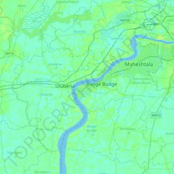
Name: Pujali topographic map, elevation, terrain.

Location: Pujali, Budge Budge - I, South 24 Parganas, West Bengal, 700138, India (22.30787 87.98524 22.62787 88.30524)

Average elevation: 5 m

Minimum elevation: -1 m

Maximum elevation: 23 m

Gear up for your next adventure:

🧤Thermal Hiking Gloves - Grip-enhanced gloves for cold-weather altitude trekking
🌬️Windproof Camp Stove - Efficient cooking even on exposed mountain peaks
🥾Lightweight Hiking Shoes - Comfortable shoes for day hikes
🧴Outdoor Sunscreen - High SPF protection for high-altitude UV exposure
🔪Outdoor Multitool - Versatile tool for repairs and food prep in the wild

As an Amazon Associate, this site earns from qualifying purchases at no extra cost to you.