Geolocate

Maltitz topographic map

Click on the map to display elevation.

About this map

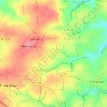
Name: Maltitz topographic map, elevation, terrain.

Location: Maltitz, Mochau, Döbeln, Mittelsachsen, Sachsen, Deutschland (51.10043 13.21600 51.14043 13.25600)

Average elevation: 248 m

Minimum elevation: 201 m

Maximum elevation: 289 m

Gear up for your next adventure:

🧊Portable Cooler - Keep food and drinks cold during outdoor adventures
🧦Crew Hiking Socks - Comfortable socks for long-distance hikes
🥾Trail Hiking Socks - Comfortable socks to prevent blisters and fatigue
Bushcraft Tarp - Versatile emergency shelter or gear protection
Camping Groundsheet - Protect your tent from moisture and dirt

As an Amazon Associate, this site earns from qualifying purchases at no extra cost to you.