Geolocate

Norosí topographic map

Click on the map to display elevation.

About this map

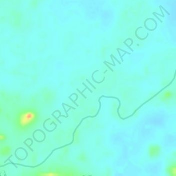
Name: Norosí topographic map, elevation, terrain.

Location: Norosí, Bolívar, Colombia (8.50197 -74.06515 8.58197 -73.98515)

Average elevation: 74 m

Minimum elevation: 35 m

Maximum elevation: 254 m

Gear up for your next adventure:

Camping Coffee Maker - Brew fresh coffee anywhere on the topographic map
👟Leg Gaiters - Keep debris, mud, and snow out of your boots
🪑Ultralight Camping Stool - Compact seating for rest stops during long hikes
💧Hydration Pack - Hands-free hydration system for long hikes
🥾Waterproof Trail Shoes - Shoes designed to handle wet terrain

As an Amazon Associate, this site earns from qualifying purchases at no extra cost to you.