Geolocate

El Castillo topographic map

Click on the map to display elevation.

About this map

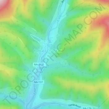
Name: El Castillo topographic map, elevation, terrain.

Location: El Castillo, Roncal, Pirineo, Navarra, 31415, España (42.79650 -0.96327 42.81650 -0.94327)

Average elevation: 813 m

Minimum elevation: 681 m

Maximum elevation: 1,094 m

Gear up for your next adventure:

🧦Merino Wool Socks - Moisture-wicking comfort for long-distance hiking
🌬️Windproof Camp Stove - Efficient cooking even on exposed mountain peaks
🥤Collapsible Travel Cup - Saves space and weight in your mess kit
🥾Waterproof Trail Shoes - Shoes designed to handle wet terrain
💡Compact LED Flashlight - Powerful and portable flashlight for outdoor use

As an Amazon Associate, this site earns from qualifying purchases at no extra cost to you.