
Thank you for supporting this site ❤️
Make a donation
Make a donation
Gear up for your next adventure:
As an Amazon Associate, this site earns from qualifying purchases at no extra cost to you.
vegetation topographic map
Click on the map to display elevation.
Thank you for supporting this site ❤️
Make a donation
Make a donation
Gear up for your next adventure:
As an Amazon Associate, this site earns from qualifying purchases at no extra cost to you.
About this map
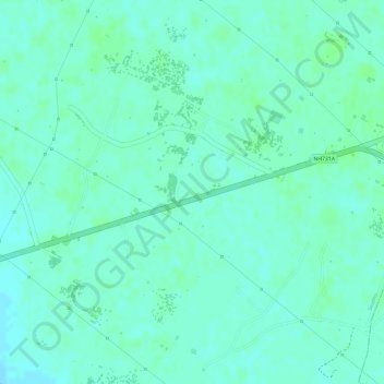
Name: vegetation topographic map, elevation, terrain.
Location: vegetation, Sirathu, Kaushambi, Uttar Pradesh, India (25.54652 81.44882 25.54662 81.44892)
Average elevation: 103 m
Minimum elevation: 99 m
Maximum elevation: 106 m
Thank you for supporting this site ❤️
Make a donation
Make a donation
Gear up for your next adventure:
As an Amazon Associate, this site earns from qualifying purchases at no extra cost to you.