
Winton topographic map
Click on the map to display elevation.
Winton
Winton (formerly, Merced Colony No. 1, Merced Colony No. 2, and Windfield) is a census-designated place (CDP) in Merced County, California, United States. Winton is located 2.5 miles (4 km) north of Atwater, at an elevation of 177 feet (54 m). The population was 10,613 at the 2010 census, up from 8,832 at the 2000 census.
About this map
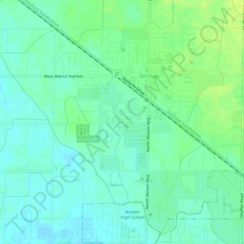
Name: Winton topographic map, elevation, terrain.
Location: Winton, Merced County, California, 95388, United States (37.36781 -120.64247 37.39681 -120.59564)
Average elevation: 54 m
Minimum elevation: 47 m
Maximum elevation: 62 m
Other topographic maps
Click on a map to view its topography, its elevation and its terrain.
Los Banos
United States > California > Merced County
Los Banos is located on the west side of the San Joaquin Valley, 26 miles (42 km) southwest of Merced, at about 118 ft (36 m) elevation. Its coordinates are 37°03′30″N 120°51′00″W / 37.05833°N 120.85000°W / 37.05833; -120.85000. The city is at the intersection of California State Route 152…
Average elevation: 36 m