Geolocate

Sualkuchi topographic map

Click on the map to display elevation.

Sualkuchi

Sualkuchi is located at 26°10′N 91°34′E / 26.17°N 91.57°E / 26.17; 91.57. It has an average elevation of 35 m (115 ft).

Wikipedia (CC-BY-SA 3.0)

About this map

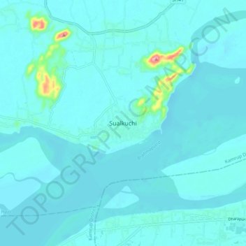
Name: Sualkuchi topographic map, elevation, terrain.

Location: Sualkuchi, Hajo, Kamrup, Assam, 781103, India (26.12991 91.53085 26.20991 91.61085)

Average elevation: 50 m

Minimum elevation: 40 m

Maximum elevation: 164 m

Gear up for your next adventure:

💧Hydration Pack - Hands-free hydration system for long hikes
🥾Trail Running Boots - Durable shoes designed for trail running
🛶Canoe Life Vest - Safety vest for water sports
🥾Waterproof Hiking Boots - Boots keeping your feet dry in wet conditions
🧰Survival Kit - Essential gear for emergencies in the wilderness

As an Amazon Associate, this site earns from qualifying purchases at no extra cost to you.