
Khaki Jabbar topographic map
Interactive map
Click on the map to display elevation.
About this map
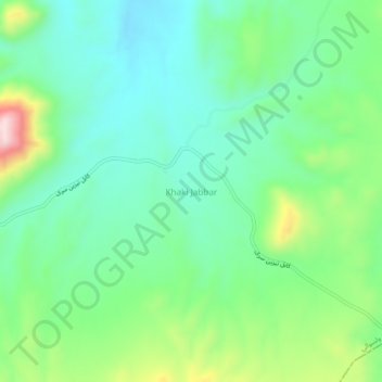
Name: Khaki Jabbar topographic map, elevation, terrain.
Location: Khaki Jabbar, Wilaya Kabul, Afghanistan (34.38176 69.48414 34.42176 69.52414)
Average elevation: 2,348 m
Minimum elevation: 2,245 m
Maximum elevation: 2,603 m