Geolocate

Konyango topographic map

Click on the map to display elevation.

About this map

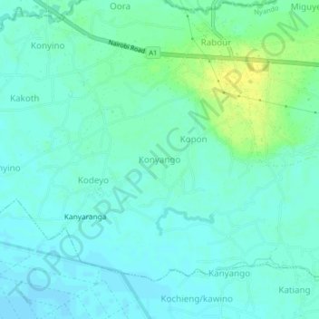
Name: Konyango topographic map, elevation, terrain.

Location: Konyango, Kobura ward, Nyando, Kisumu County, Kenya (-0.18635 34.80000 -0.14635 34.84000)

Average elevation: 1,143 m

Minimum elevation: 1,137 m

Maximum elevation: 1,157 m

Gear up for your next adventure:

🧰Survival Kit - Essential gear for emergencies in the wilderness
Lightweight Camping Tent - Portable shelter optimized for Canadian backcountry camping
🥾Trekking Poles - Adjustable trekking poles to reduce knee stress and improve stability
🧭GPS Tracker - Track your location in remote areas safely
🔦UV Flashlight - Detect minerals or specific insects in the dark

As an Amazon Associate, this site earns from qualifying purchases at no extra cost to you.