
Saint Robert topographic map
Click on the map to display elevation.
About this map
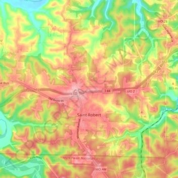
Name: Saint Robert topographic map, elevation, terrain.
Location: Saint Robert, Pulaski County, Missouri, 65884, United States (37.79302 -92.19256 37.85702 -92.09619)
Average elevation: 294 m
Minimum elevation: 223 m
Maximum elevation: 348 m
Other topographic maps
Click on a map to view its topography, its elevation and its terrain.