Geolocate

Eulendorf topographic map

Click on the map to display elevation.

About this map

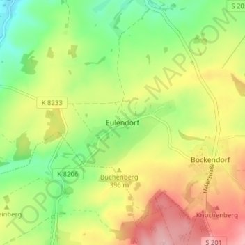
Name: Eulendorf topographic map, elevation, terrain.

Location: Eulendorf, Hainichen, Mittelsachsen, Sachsen, Deutschland (50.91333 13.11877 50.95333 13.15877)

Average elevation: 378 m

Minimum elevation: 310 m

Maximum elevation: 459 m

Gear up for your next adventure:

🧢Sun Hat - Wide-brim hat for sun protection
💧Reusable Water Bottle - Durable water bottles for hydration on trails
🥾Durable Hiking Shoes - Long-lasting shoes for frequent hiking
🧥Softshell Hiking Jacket - The perfect balance of wind protection and breathability
🔥Camping Stove - Portable stoves to cook outdoors with ease

As an Amazon Associate, this site earns from qualifying purchases at no extra cost to you.