
Stein topographic map
Click on the map to display elevation.
About this map
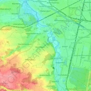
Name: Stein topographic map, elevation, terrain.
Location: Stein, Fürth (district), Bavaria, 90547, Germany (49.38017 10.92272 49.42631 11.02596)
Average elevation: 326 m
Minimum elevation: 290 m
Maximum elevation: 390 m